

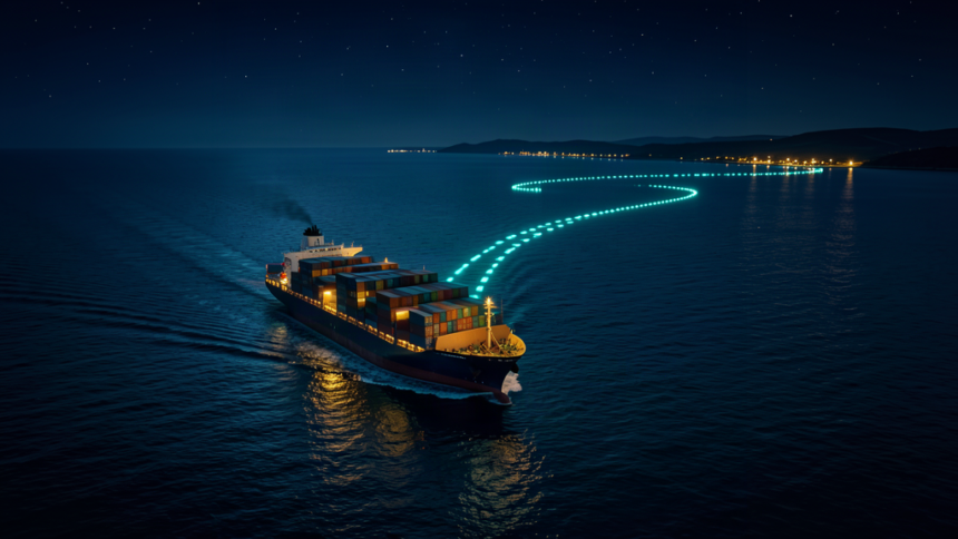
Ships have reported positions they could not hold, and a sweep of 367,000 vessels shows the problem reaches beyond a few contested waterways.
Researchers at Georgia Tech published the findings on September 29. They combed Automatic Identification System traffic for groups of ships reporting impossible motion: speeds past 60 knots, fixes plotted on dry land, or courses off by more than five kilometers.
31 zones, 22 with strong evidence
The scan turned up 17,936 abnormal episodes across 2,663 ships from late November 2024 to early February 2025, over 31,000 hours of implausible navigation. Sorted by geography, the events formed 31 persistent zones. The authors labeled 13 as corroborated spoofing and nine as new zones backed by strong internal evidence. Another nine were suggestive.
Circles, straight lines and inland fixes
Some vessels traced near-perfect circles while speed readings held steady. Others settled onto dead-straight headings lasting tens of kilometers before their true positions returned. In Jordan, several unrelated ships reported one small inland point close to Queen Alia International Airport.
Recognized interference areas such as the Black Sea, the Baltic, the Eastern Mediterranean, the Red Sea and the Strait of Hormuz all turned up. Fresh zones showed up in places the researchers had not flagged before, sitting near the Canary Islands, the Panama Canal and the Gulf of Mexico. There, roughly 200 vessels jumped in step on December 31, 2024.
Rewind to January 2025 near Port Sudan, and the displacement seen there matched what was later logged from MSC Antonia: the false tracks agreed to the fifth decimal place of latitude. That container ship went aground in the Red Sea in May 2025.
The paper calls its tally a lower bound. AIS captures the position a receiver computed, not the signal that corrupted it, leaving the operator unidentified.