

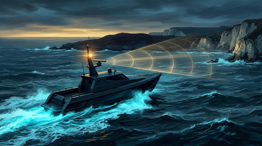
A British startup has shown an uncrewed boat finding its own way through coastal waters with the satellite constellation switched off, using radar returns matched against stored terrain maps.
Voyant ran the trial for the UK Ministry of Defence aboard a Kraken K3 Scout autonomous surface vessel in the Solent, the busy stretch of water between the English mainland and the Isle of Wight. No GPS, Galileo or other GNSS input was used.
Instead, particle filter algorithms compared live radar imagery with pre-existing reference maps of the shoreline and surrounding structures. The comparison produced a position estimate and, critically, a measure of how much to trust it.
Why the coastline is the hard part
Littoral water is where satellite navigation degrades on its own terms. Headlands, changing terrain and dense infrastructure block reception before an adversary does anything. That makes the near-shore approach the segment most exposed to jamming and spoofing, and the one where a wrong fix puts a vessel aground.
James Norwood, Voyant’s chief executive, said access to GNSS can no longer be assumed and described the demonstration as a practical capability for autonomous systems rather than a laboratory result.
The work forms part of a wider MoD effort to test resilient navigation for contested and congested environments. It is a demonstration, not a fielded system, and no production decision has been announced.