
Momentus says it has flown a sensor suite cheap enough to put autonomous close approach within reach of small servicing vehicles.
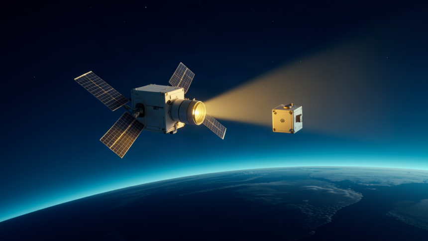
The company reported on Sept. 29 that its Vigoride-7 orbital service vehicle tracked and maneuvered near a NASA satellite in low Earth orbit, holding a continuous range lock on the target without any manual steering from the ground.
The payload pairs commercial off-the-shelf optical cameras with a compact solid-state LiDAR unit, both driven by onboard edge-computing chips. Computer vision and machine learning turn range readings, point-cloud maps and relative velocity into a live three-dimensional picture of the target. Servicing concepts have historically depended on space-qualified military sensors or continuous ground teleoperation, costs that kept most commercial missions out of the game.
Cutting sensor mass, power draw and price changes who can afford to fly close to another object. The same autonomous navigation that lets a tug dock, refuel or reposition a client satellite also underpins inspection of hardware that would rather not be inspected, and it lowers the cost of shadowing a spacecraft a nation would prefer to keep unwatched.
Momentus framed the flight as validation of a lower-cost avionics path rather than a finished product. The company said the data supports future servicing fleets that must approach defunct upper stages and other clients unable to cooperate with a docking sequence.
That ambiguity is the point. Proximity operations are genuinely dual-use, and every step that makes rendezvous cheaper and more automatic also makes it available to operators whose interest is looking, not fixing.